Edge of America Tour
Climate Central is taking FloodVision on the road.
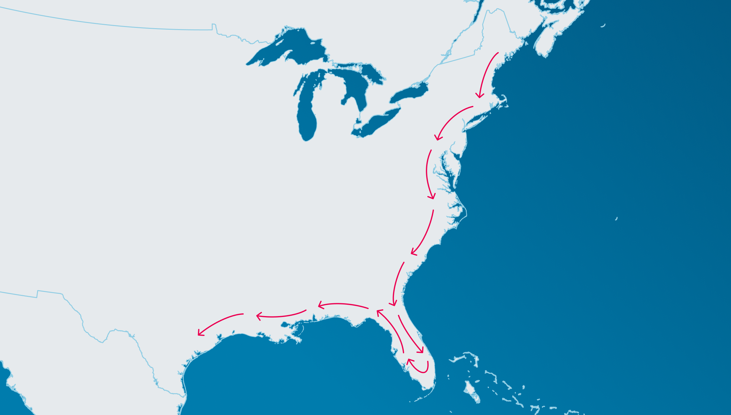
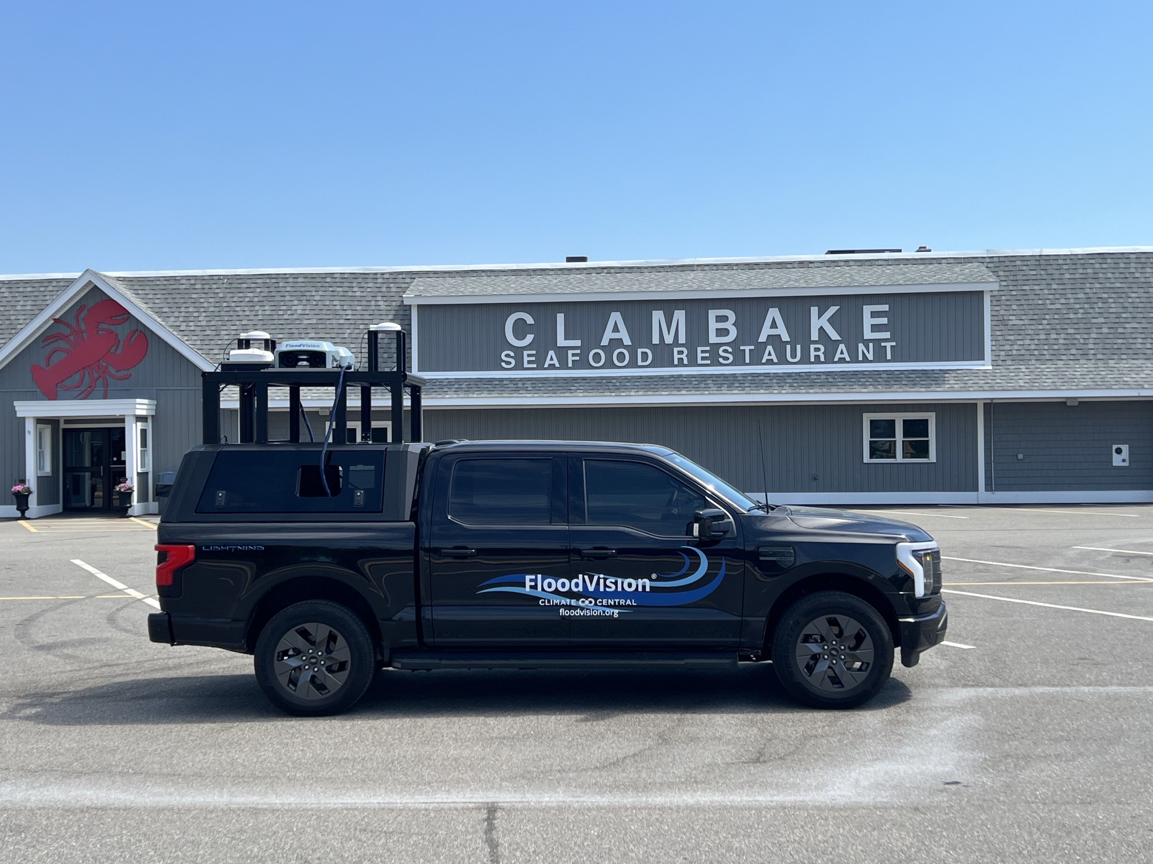
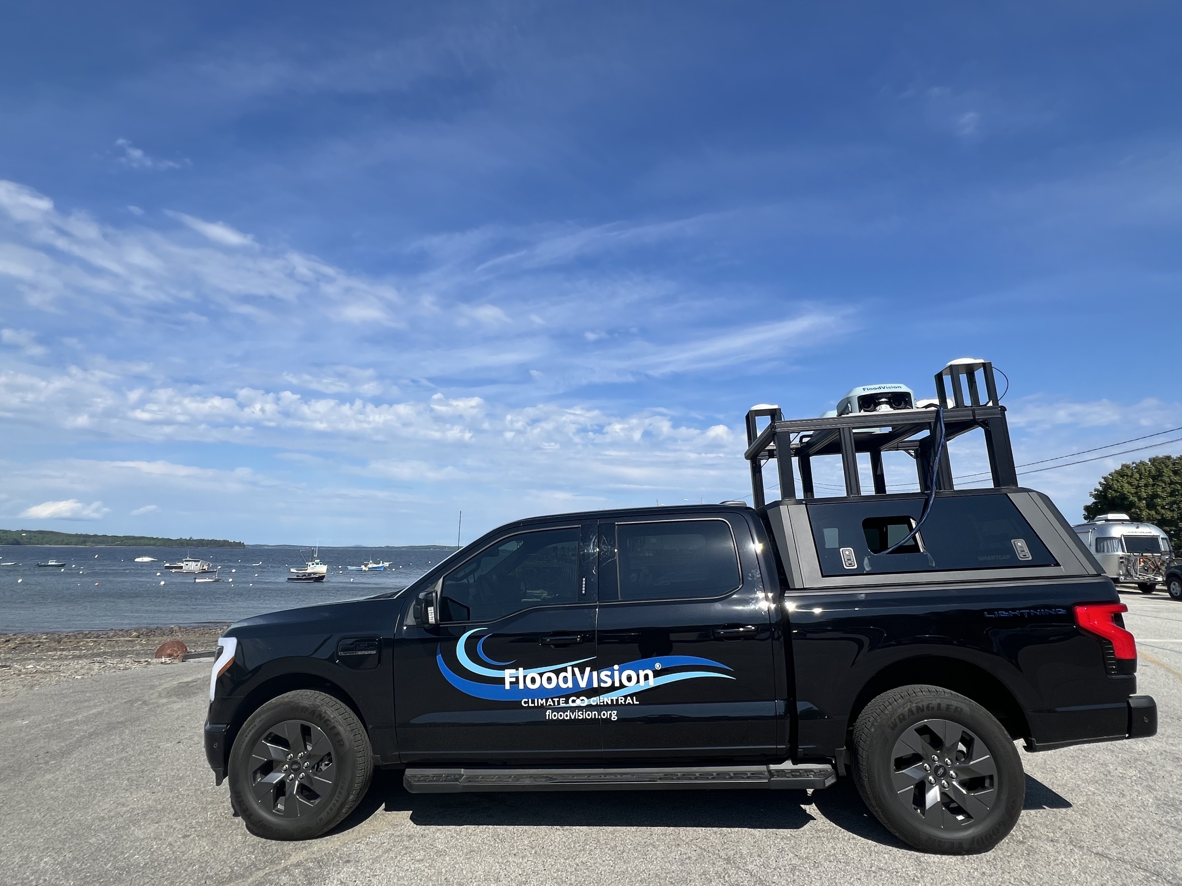
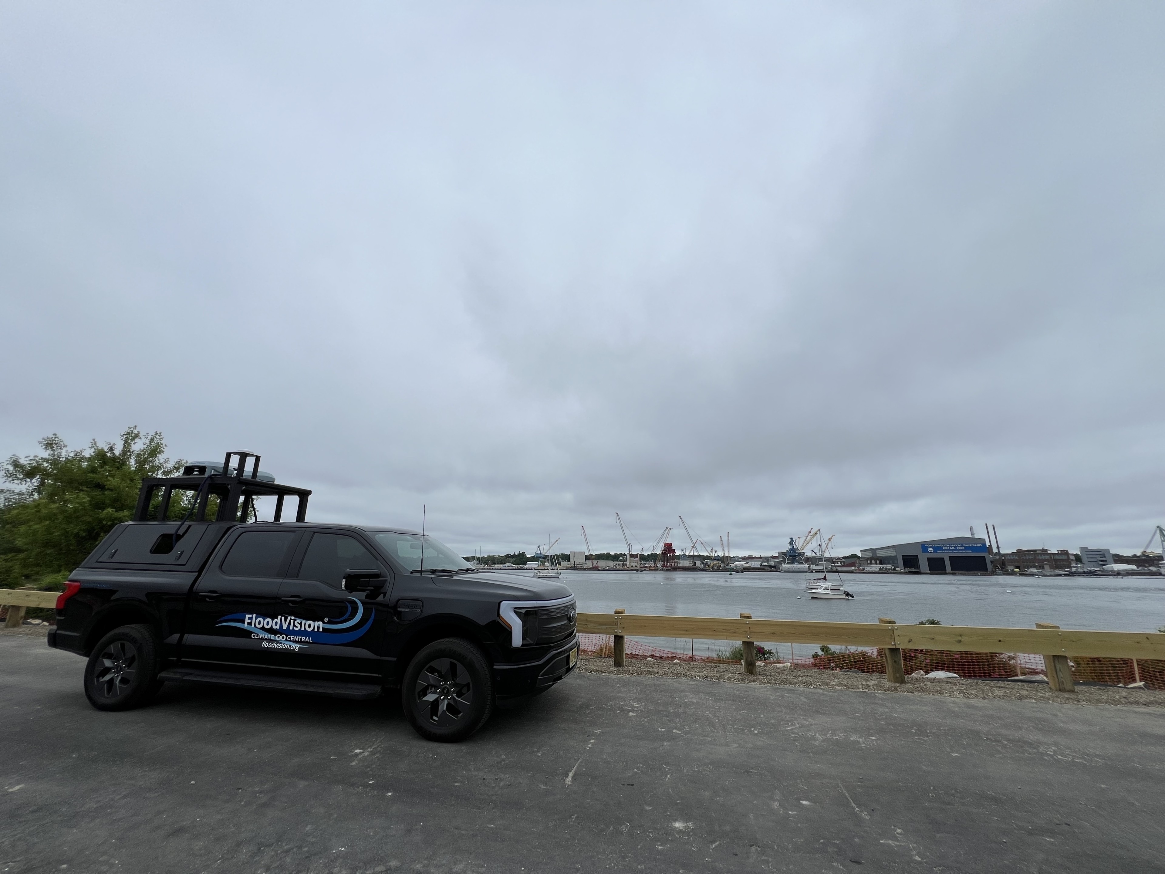
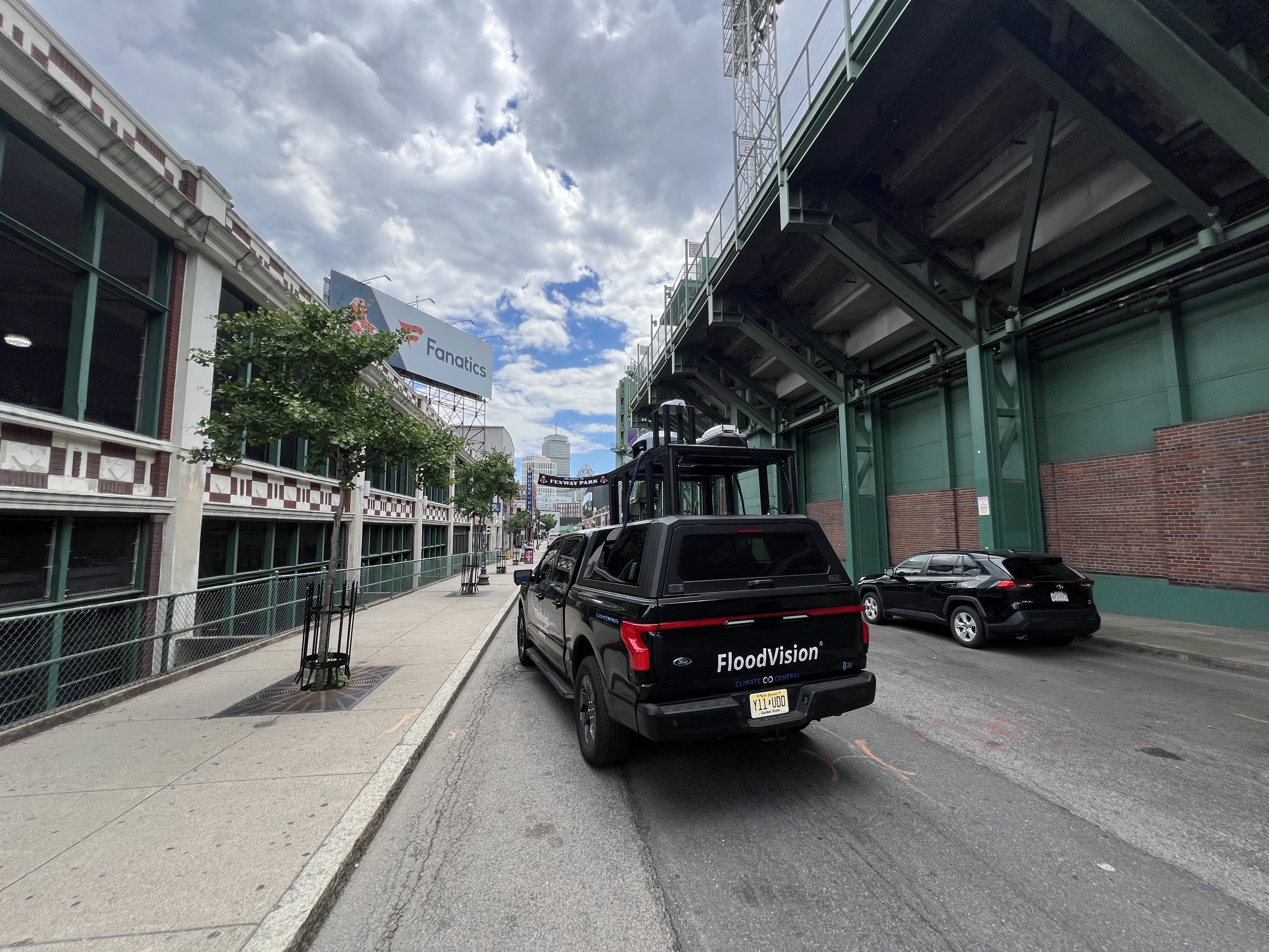
Climate Central's FloodVision "Edge of America" tour has kicked off a 6-month trek through coastal communities from Maine to Texas, capturing and sharing impactful stories and images of coastal resilience and risk.
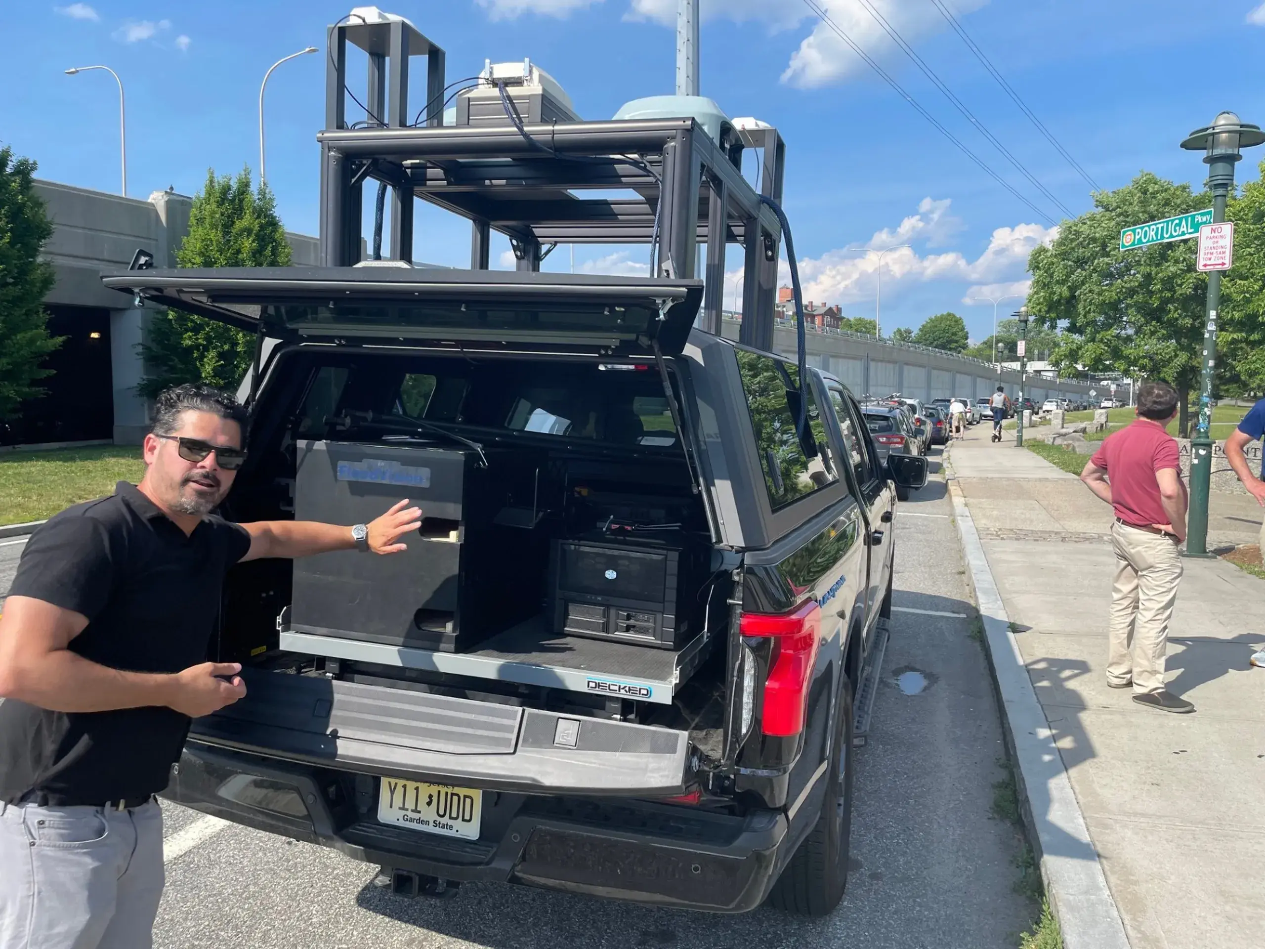
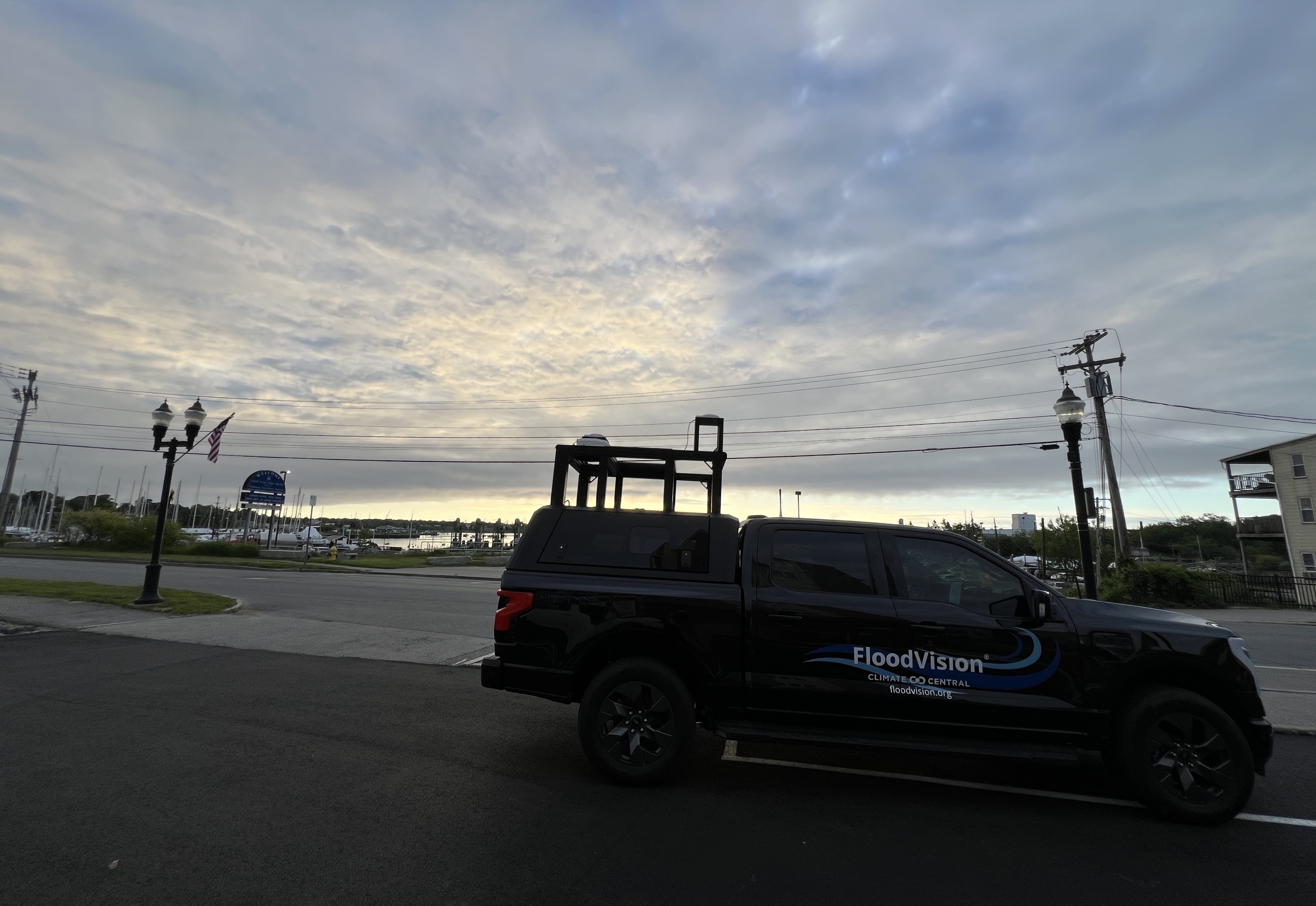
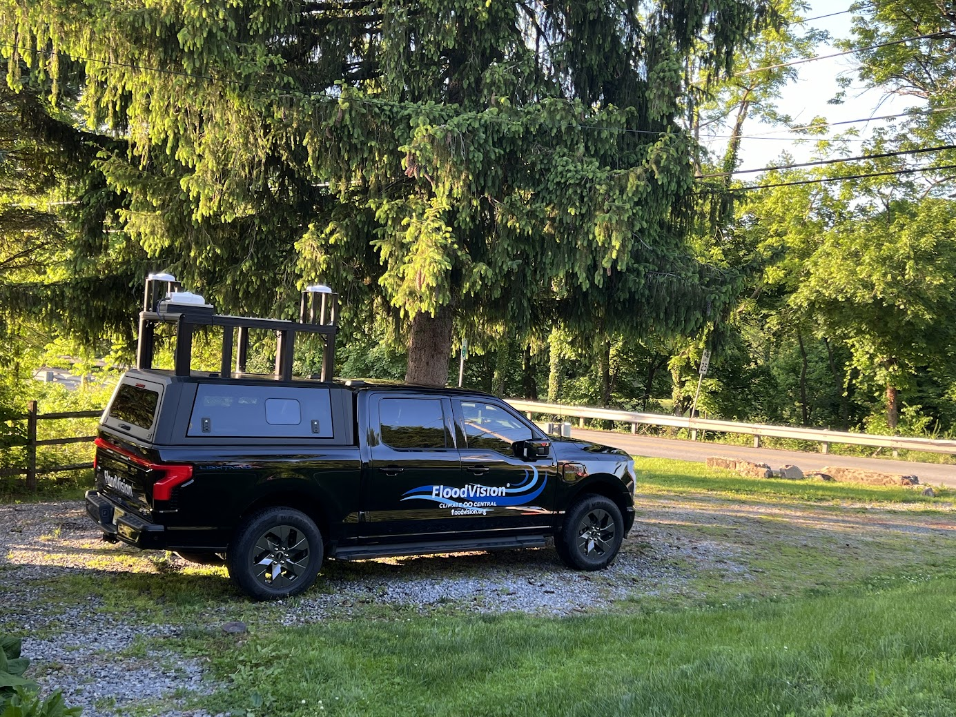
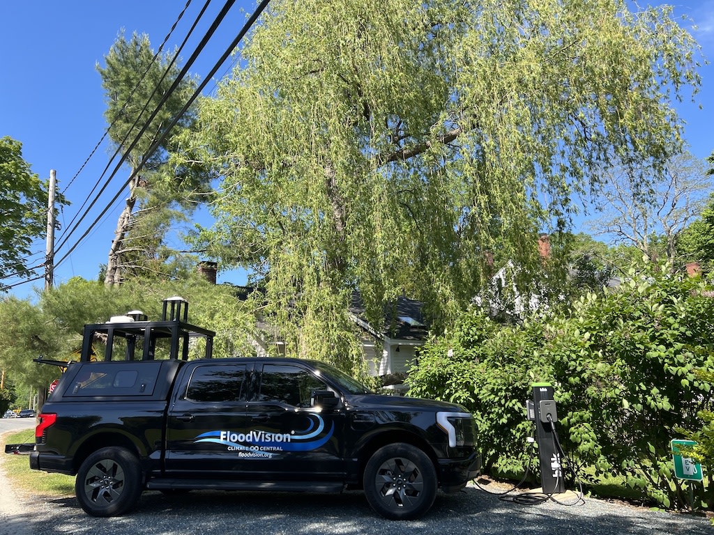
This groundbreaking expedition will empower communities with vital insights into coastal flooding and sea level rise. Max Grater, a seasoned film and documentary producer and director, will drive our new FloodRover II (an all-electric Ford F150 Lightning) along the Eastern and Gulf coasts, generating science-based photorealistic visuals of flood risk and meeting up with local leaders and experts who want to do something about it.
Our trip route is starting to fill up, but we're aiming to meet with meteorologists, journalists, academics, scientists, NGOs, and others.
We want your input! Let us know the coastal locations important to you for FloodVision to collect images and data.
Latest Stop:
Louisiana
Stops so far
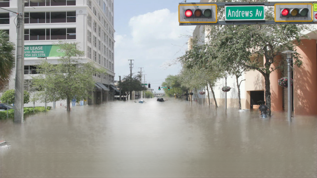
FloodVision® integrates elevation data, camera inputs, and sensor data through AI, allowing us to precisely estimate entry floor elevations of buildings and structures. As we drive through coastal communities, we can generate photorealistic flood and sea level visualizations with precision. This enables us to identify structures--homes and businesses, hospitals and senior facilities, bridges and public transportation-at risk from exposure to potential flooding. The resulting images and data provide local leaders with critical information for both emergency preparedness and long-term planning for adaptation and resilience efforts.


Meet the Tour Team
Meet the Climate Central people behind the Edge of America tour-a creative, friendly and impassioned group of people, who truly enjoy what we do and care about the planet that we live on. Our diverse areas of expertise and perspective help us communicate climate impacts and solutions that are based in science and foster engagement.


Edge of America in the media
The Providence Journal
A truck collecting data to create visualizations of flooding made worse by climate change is set to start work in Rhode Island this week.
NBC Boston
Climate change refers to long-term shifts in temperatures and weather patterns. Human activities have been the main driver of climate change, primarily due to the burning of fossil fuels like coal, oil and gas.